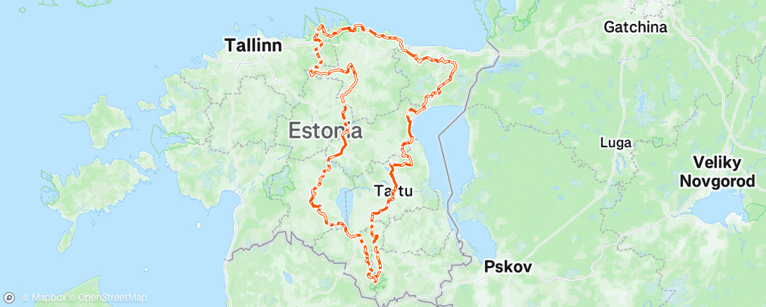
Kõkõva 900
Kõkõva is an unsupported bikepacking race against the clock. You must reach the finish under your own power with no outside assistance. About 75% of the route is gravel tracks and trails, with the remaining 25% paved. The clock starts at the start line and stops only at the finish. There are also two mandatory checkpoints along the way.
This year’s event offered two route options: 500 and 900 km. The final choice had to be made at the first checkpoint.
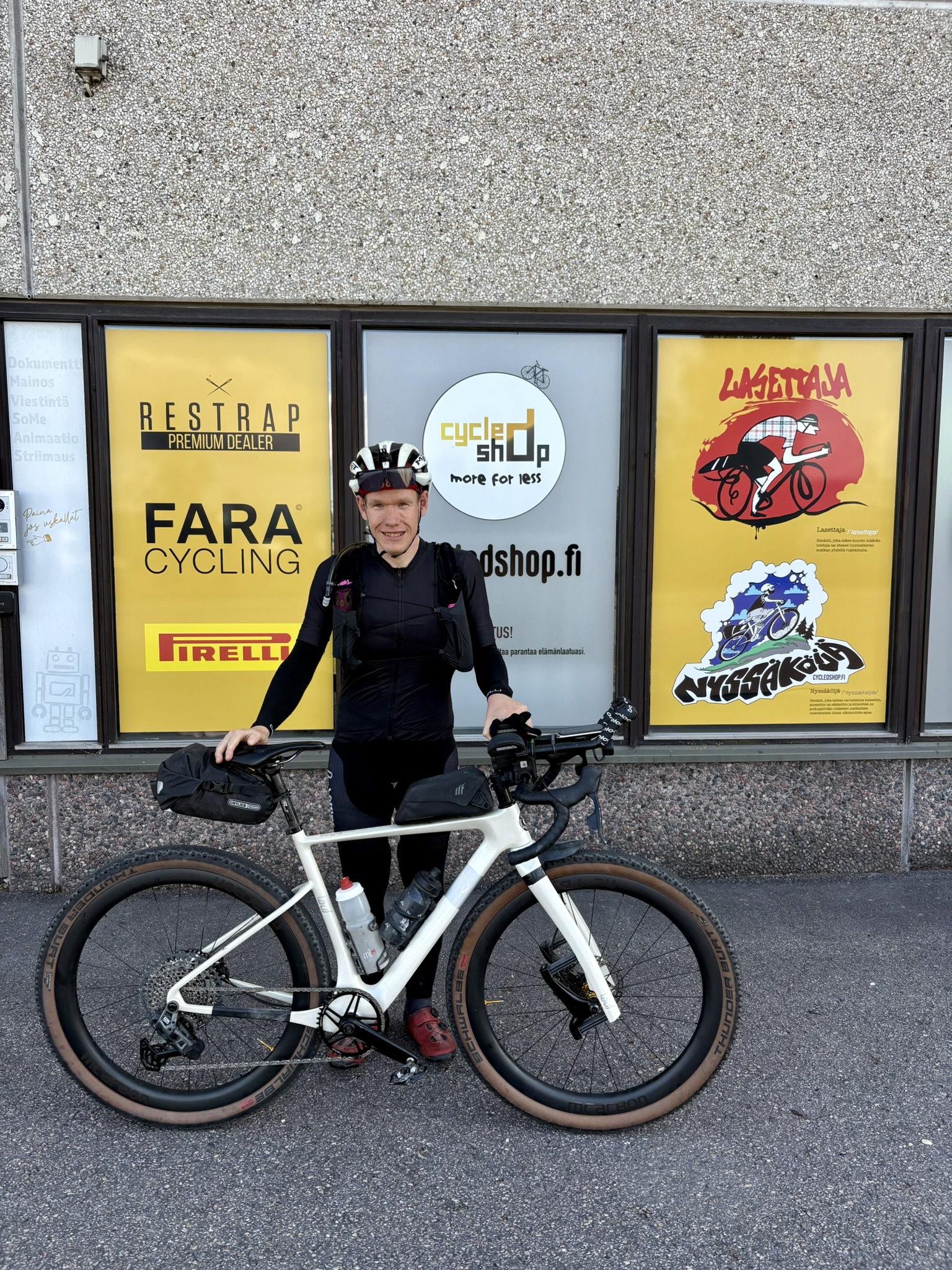
Kit
The plan was to ride the route without sleeping, so I set off with minimal kit. Bike and everything on it came to about 13.5 kg.
I brought a couple of 10 Ah power banks, a running vest with a 2-litre hydration bladder, a rain jacket, tools, a lightweight down jacket and an emergency bivy bag.
The front light was a Lupine SL Nano. I’d run the same lamp through last year’s Winter Solstice ride and home again, roughly 25 hours straight, with 20% battery still left. This time it died on the final morning just after sunrise despite running it for under 18 hours. I had a Lumonite Compass headlamp as backup. Two Fenix BC05R rear lights.
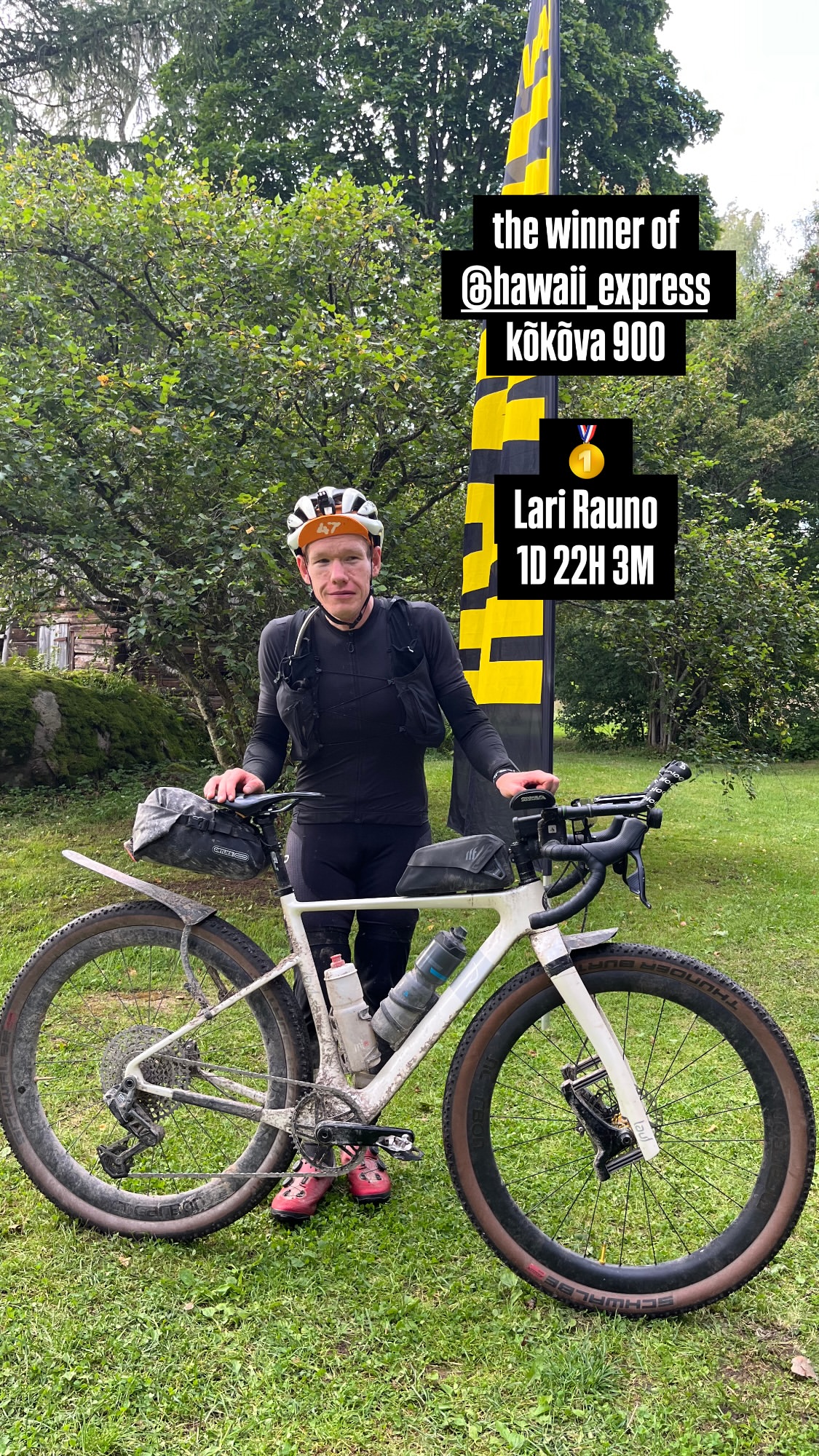
Bike was a Lauf Seigla with 57 mm Schwalbe Thunder Burt tyres.
Preparation
I went through the route carefully in advance using satellite imagery and the Strava heatmap. Based on those it looked very technical and slow. The race manual noted that this year’s route was relatively fast. I weighed that against previous years routes and, against all reason, set myself a target of 36–38 hours.
I wanted to be as independent of opening hours as possible, so I planned two service stops in advance at 24-hour petrol stations directly on the route, the first in Tartu at 350 km and the second in Põltsamaa at 670 km.
Start to CP1
The race set off just before sunset on 15 August at 21:00 in light drizzle. A pair of riders immediately hammered off the front. I tried to stay with them at first, but after 10 minutes my average power was a ridiculous 240 W (3.4 W/kg), so I let them disappear over the horizon and settled into my own pace.
I’d had to remove the wheels for transport to the start, and my Transmission Eagle rear derailleur requires the axle to be torqued at exactly the specified 12 Nm, otherwise the shifting doesn’t work properly. I tested the gears multiple times after reassembly at the start and everything seemed fine, but on the very first climb when I put down more power the chain started skipping uselessly on the largest cogs (1–5). Great start.
The route was flat enough at the start that the missing gears weren’t that big of a deal.
I’d packed the vest a bit carelessly and both packs of biscuits flew out on the first serious bump. Fortunately I found them, otherwise it would have been a grim 350 km to the first service stop 😀
It quickly became clear that beyond being technical, the route was difficult to navigate as well. Trails crossed in every direction and in the dark it was impossible to tell which way to go. I kept following riders ahead of me the wrong way, or heading the wrong way myself, and had to cut through dense forest to get back on the right trail.
It was very hard to just zone in because you’d ride several kilometres on a good gravel road, then the route would suddenly dive off into nothingness where, in the dark, there often seemed to be no path at all. Usually I managed to find it after a bit of searching, and it almost always continued for kilometres along overgrown, root-covered, muddy trails, even when there was a perfectly good gravel road running right alongside.
Around 100 km I finally caught the pair who’d sprinted away at the start, and after that I didn’t see any other riders, apart from the media team.
Around 130 km in, the route crossed a long stretch of sand dunes. It was nearly impossible to tell where the trail was supposed to go, as the grass hid the trail and there were no visible traces of a path. At the same time, I was really starting to miss those missing gears while ploughing through the soft sand. I tried loosening and retightening the axle a few times, but each time the shifting only got worse.
I finally stopped at 200 km to sort out the derailleur. Tweaking the micro-adjustment and finding the right axle torque made it good enough.
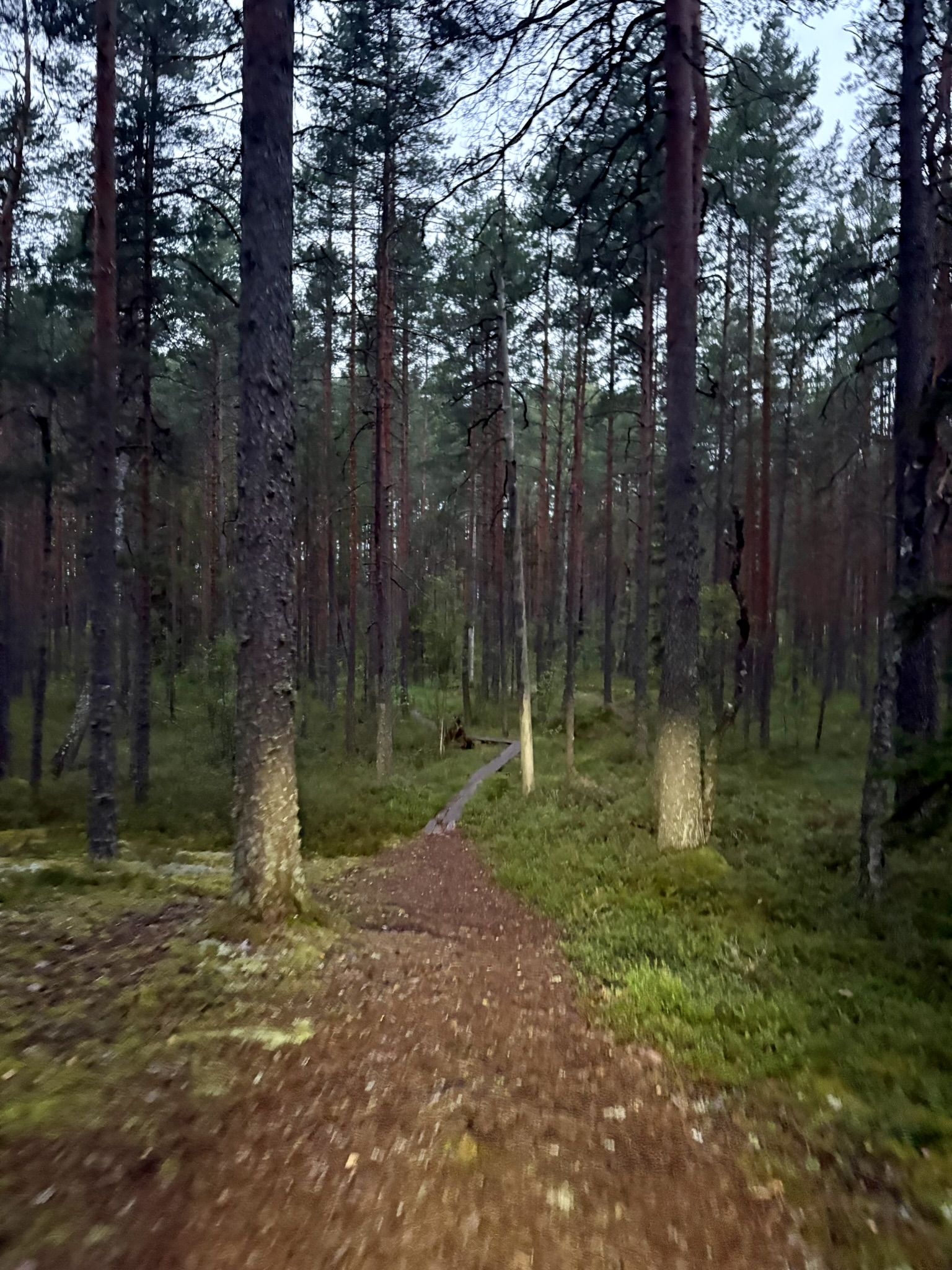
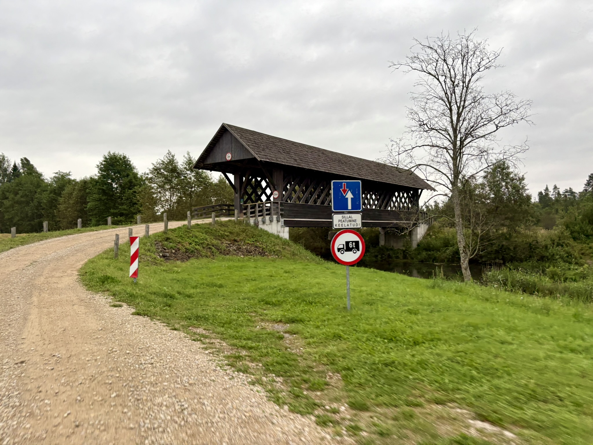
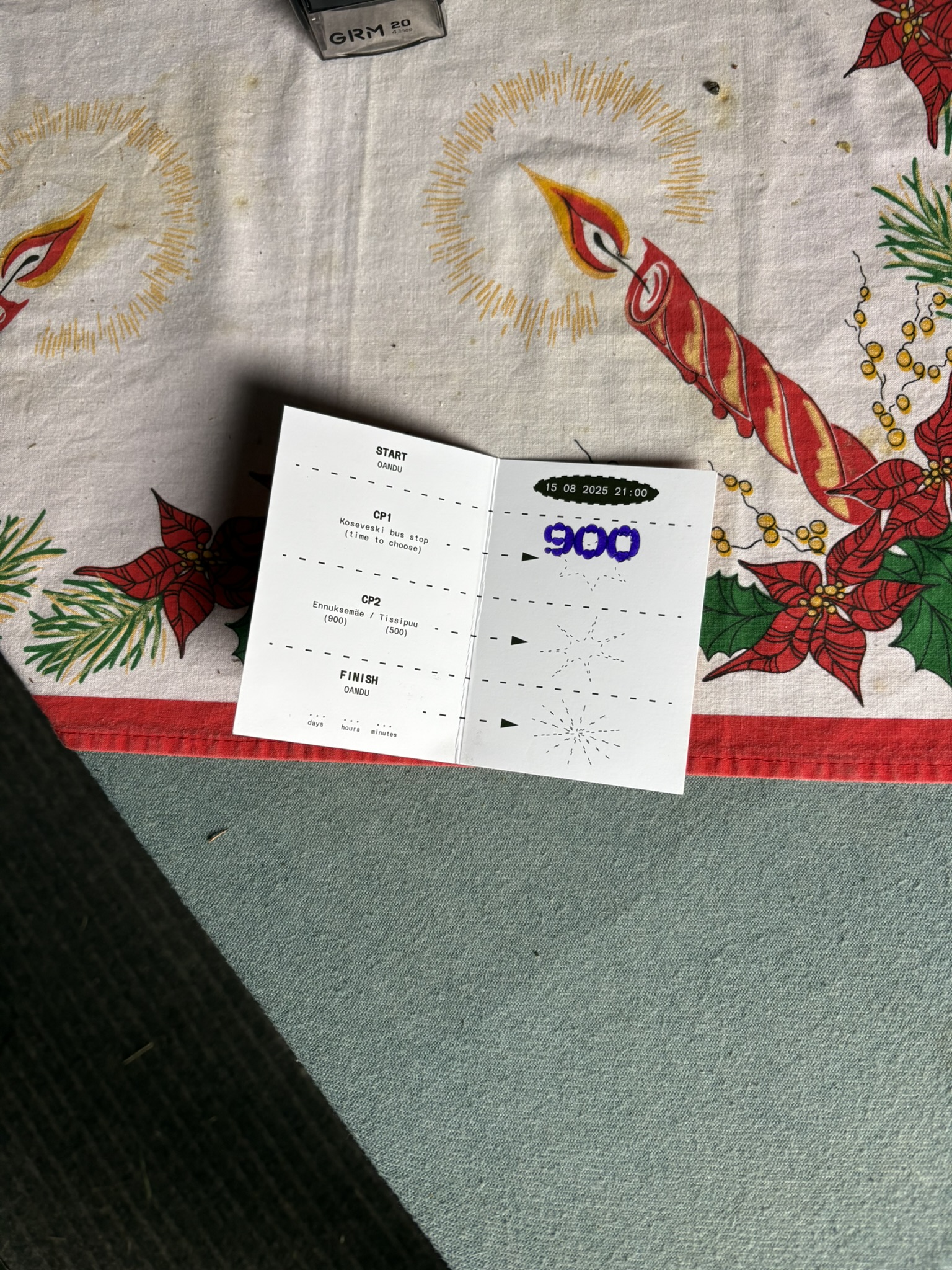
As the sun rose I got to ride through a beautiful national park, which after a dark night felt like a shot of espresso straight into a vein. Energised, I naturally decided to test my luck on the narrow, slippery, rotten duckboards. One gave way a few metres in, but fortunately I landed on my backside rather than going over the bars, escaping with just a few bruises.
CP1 to CP2
After collecting the first stamp, the wind started picking up and a couple of heavy thunderstorms rolled directly overhead. The strong headwind looked set to continue all day as I rode south, and the forecast had it gradually shifting around, meaning I was also promised a headwind on the way back north.
The rain that had continued all night and morning finally stopped shortly before Tartu, and apart from a few showers the sun shone all day.
In Tartu, I stopped for a couple of sandwiches and a resupply. From the first checkpoint onwards, the route was mostly fast and straightforward riding to the southernmost turning point at Karula National Park, where it suddenly turned onto a completely incomprehensible nature trail.
The trail had no visible path at any point. I waded through completely overgrown forest and fields with fallen trees every few metres. That stretch of just under four kilometres took well over an hour.
It was the straw that broke the camel’s back. I shouted into the wind more than once while stumbling over roots, legs bleeding from sharp branches, while mosquitoes and other things ate me alive. That tune played on repeat in my head for the rest of the ride.
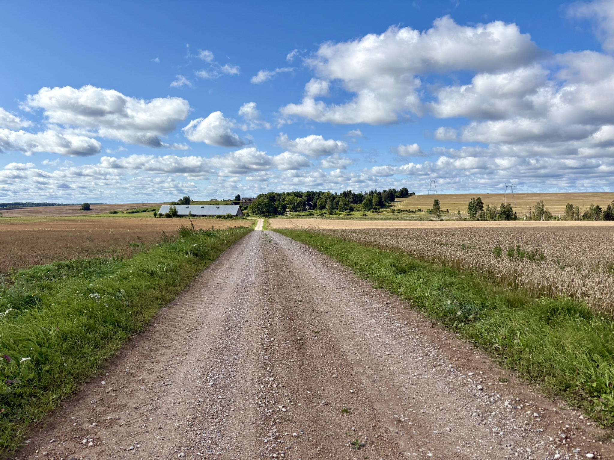
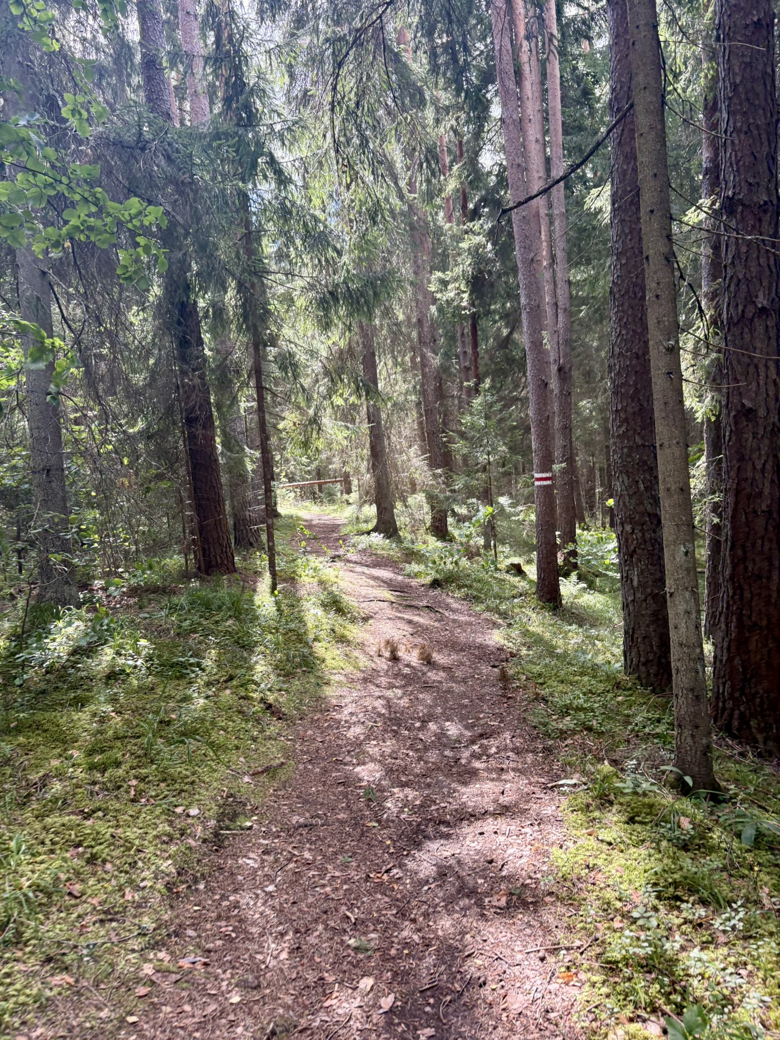
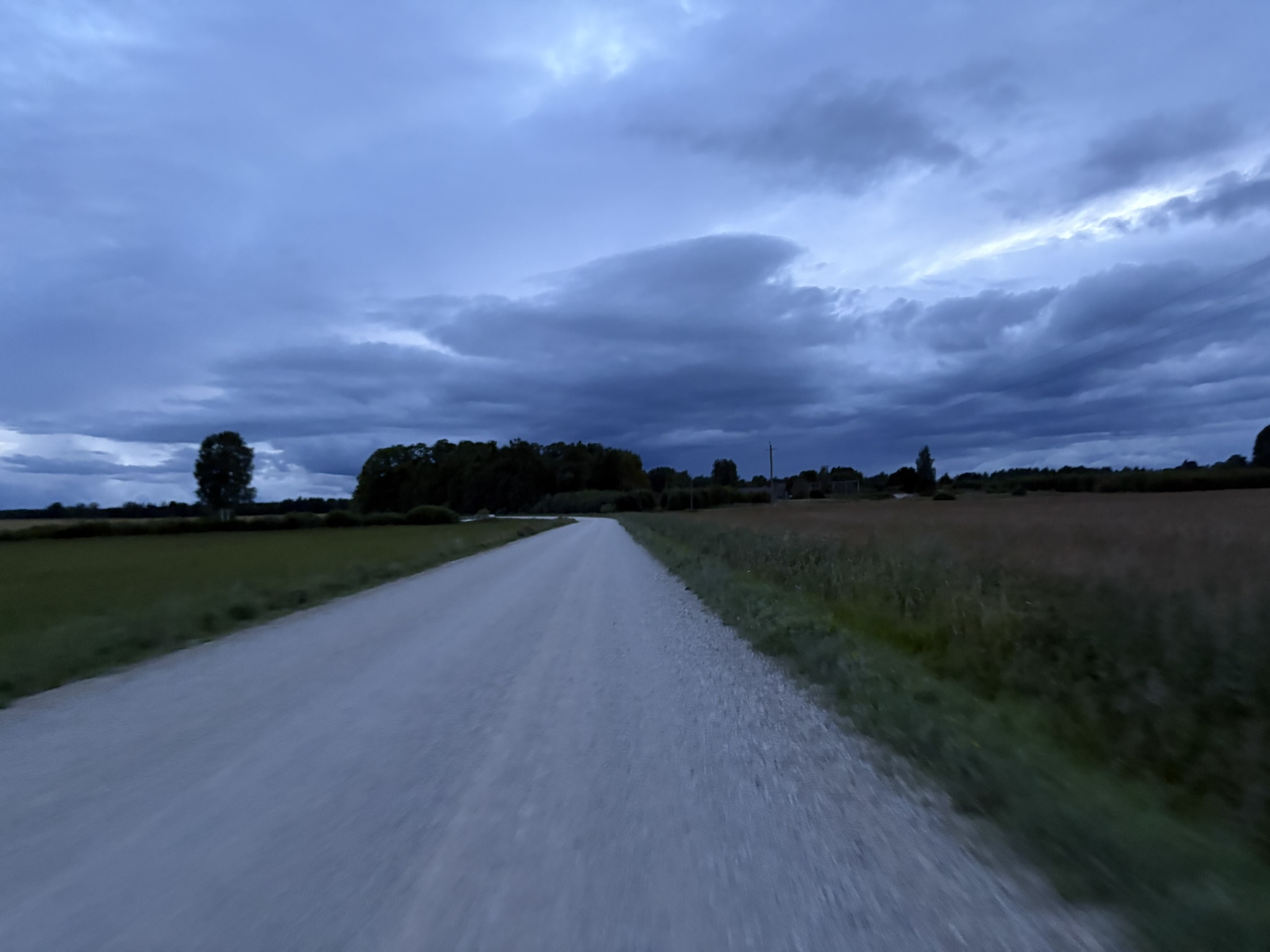
At the first checkpoint I’d calculated I would easily make it to the second checkpoint while it was still light, but the route kept getting slower. Around sunset, the rain started hammering down again and the temperature dropped enough that I put on my rain jacket for the first time.
I started considering the option of collecting the second stamp and stopping in Viljandi for a few hours of sleep in a proper bed. A battle raged in my head: No, Lari. We came here to push limits, and we’re nowhere near any limits yet.
In the end, that voice won and I didn’t book anywhere to stay. Admittedly, the fact that accommodation was around €150 may also have helped. Paying €75 an hour to sleep in sheets felt absurd even by my standards 😀
The second checkpoint was in some old bunker in the middle of a forest. A marker had been added to the route just before the checkpoint reading Bush – Follow the line. In my head I’d imagined that meant at most a few dozen metres of bushwhacking. In reality it was nearly one and a half kilometres of thicket between steep little hills, with only the occasional hint of something resembling a path. In the dark and rain the terrain was really difficult to navigate.
I reached the end of the section but couldn’t find anything resembling a bunker in the dark. After wandering around for a while I realised the bunker was just a hatch in the ground, with a ladder leading down into an underground bunker! It was so warm inside, and there were a couple of bunk beds with mattresses, that I was almost tempted to stay and sleep.
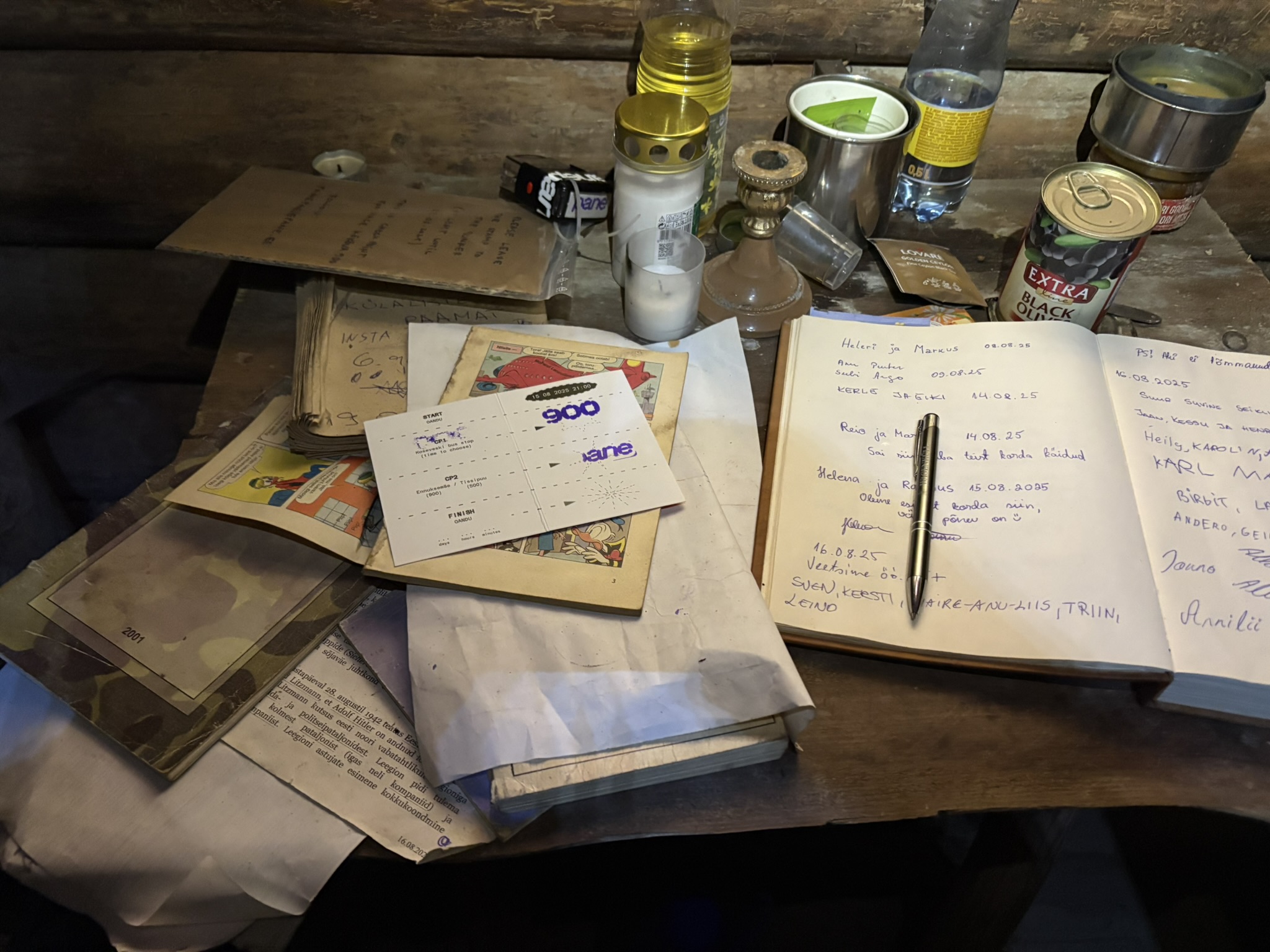
There was all sorts of interesting stuff in the bunker and it would have been fun to explore further, but the road was calling.
CP2 to finish
The route continued slowly along boggy trails. The ride had taken far longer than I’d expected, and the next planned stop was still over 100 km away. I decided to take a break in Viljandi, where there was a 24-hour petrol station just off the route. I still had enough food and water, but mentally I was starting to need a break.
A road sign said Viljandi 16 km, and in my head I was already 16 km from a break. The route had other ideas, zig-zagging along every last trail it could find and stretching the distance to nearly 35 km.
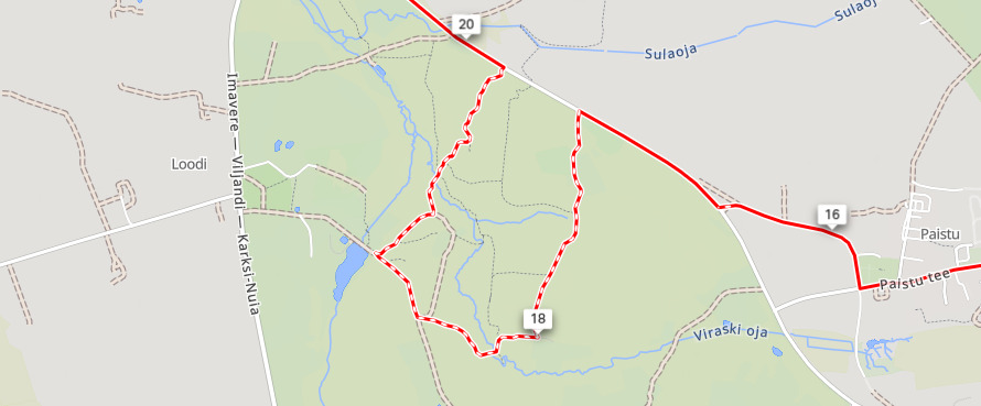
Frustration crept in when you could see the route continuing along the road ahead of you, but it kept making kilometre-long diversions onto rooty side trails.
Somewhere between the second checkpoint and Viljandi, I managed to puncture both tyres at the same time. I have no idea what I rode over, but the sealant plugged both holes after a brief squirt and I got away with simply pumping the tyres back up.
The rear tyre still wasn’t holding air properly, so I added some more tubeless sealant later on, which eventually solved the problem.
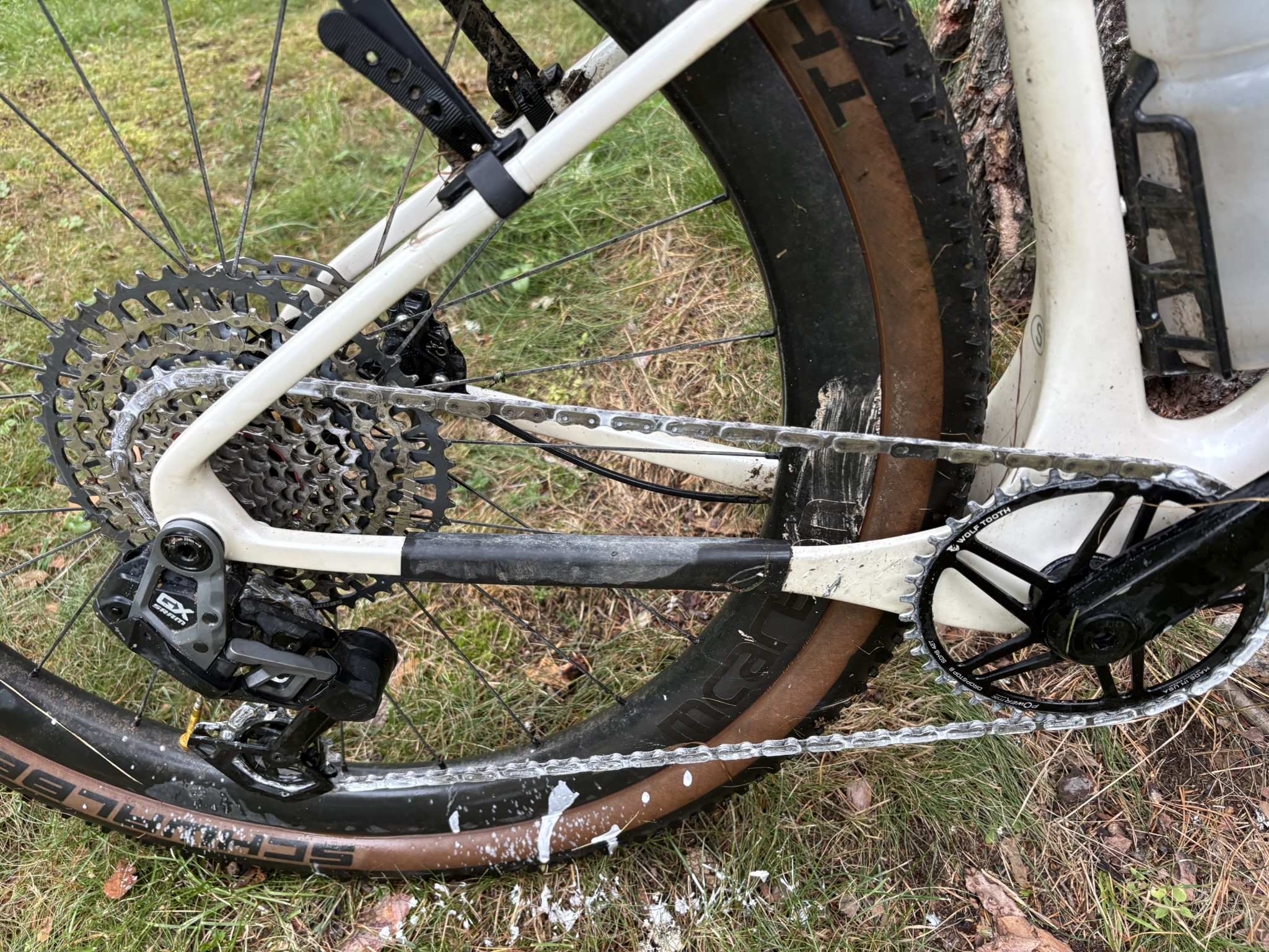
I finally made it to Viljandi, and the rain had thankfully stopped. The roads were dry enough that I decided to put fresh drip wax on the chain before taking a break, so it would have some time to dry.
For some reason, the wax had solidified in the bottle and refused to come out. I ended up pouring what I could onto a piece of napkin and dabbing it onto the chain as best I could.
The break was well needed. I got my nearly-dead heart rate monitor charging, put a few litres of fluid in, ate some cold sandwiches and stuffed the vest with biscuits and sweets.
After the break the sky opened up again, so the chain lube didn’t last long.
The food did its job and the route eased a little, so I no longer had to concentrate on every metre of trail. My eyelids started to feel increasingly heavy, and my memories of that stretch are very hazy. Every bush on the ground looked like a dead cat, until I turned onto a main road and nearly rode over an actual dead cat. The fright gave me a brief adrenaline boost.
I started eyeing every bus shelter and covered bench with that look, scouting places where I could lie down for a bit.
The route went along some flooded track with ankle-deep water while riding. Ice-cold toes woke me up enough to buy another few hours.
Eventually the hallucinations got bad enough that I decided to stop at the next suitable spot for a nap. My eyes weren’t showing anything with any connection to reality. Every blink brought something new.
Shortly after, a covered picnic table by the road appeared as if on a platter. I climbed up onto it to lie down in the bivy with the down jacket on, helmet under my head as a pillow, and set an alarm for 45 minutes.
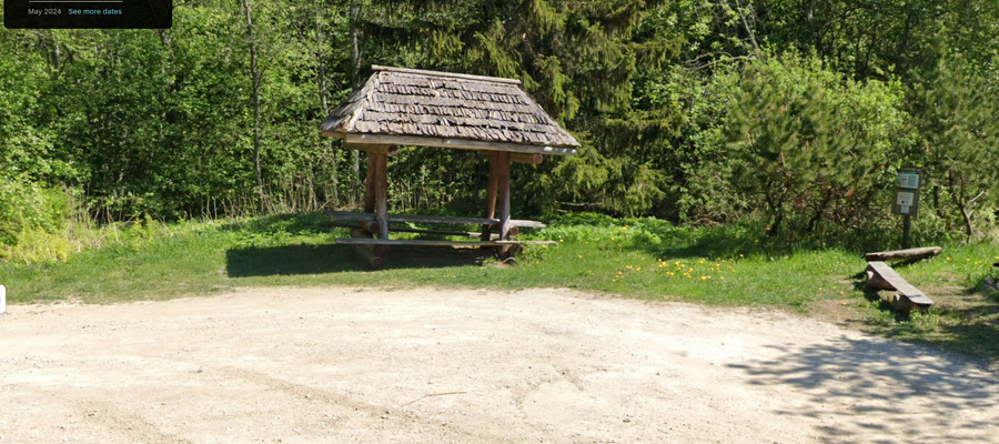
I fell asleep immediately. I woke a few minutes before the alarm feeling like a new person. Pack up and carry on. It was only 8°C in the morning and it took a while of pedalling to warm back up while soaking wet.
Over 200 km remained to the finish, and at that point I had no memory of what the final part of the route would be like. I didn’t have to wonder long, because every time I thought the route couldn’t get worse, it got worse.
It had been raining hard all night and morning, every gravel track had turned to mud, and it felt like the bike was barely moving.
I’d bought a new Garmin 1040 to replace my old 540 because, on longer rides of over 300 km, the old one got unusably laggy.
Exactly the same problem appeared on the 1040. By around 700 km, the map was several turns behind and navigation eventually became impossible. At times the turn arrow was completely off the route or pointing in entirely the wrong direction. At 760 km, I tried saving the ride and starting a new activity, but that didn’t help either. A full device restart fixed the problem and allowed me to continue.
The route turned onto a marked mountain bike trail, and at some point I arrived at a junction where one of the trails appeared to go straight up a near-vertical slope. I stood there for a moment wondering if I was really supposed to go up there.
Fortunately, riders on the shorter 500 km route had come through earlier, so their tracks showed the way. The entire hillside was pure mud, and for the first 20 metres there was nothing to grab onto. I must have slid back down sideways three times before finally managing to anchor the bike well enough to haul myself up to the first trees. From there, I worked my way up the slope one tree at a time.
I’d been riding with wet and sandy feet since the start and my feet were starting to tingle quite badly. These were the familiar early symptoms of trench foot. Over 100 km remained to the finish, so I decided to just endure it and not do anything about it.
The entire route had been relentless pounding on the backside, and my legs were fucked from constantly lifting my ass off the saddle.
I’d kept my phone in aeroplane mode the whole time to save battery, but for some reason I switched it on shortly before Aegviidu and noticed an email from the organiser about a route change. Apparently there had been a longer water crossing near the end that had been removed from the route. Good timing, as the reroute started right at Aegviidu.
The route went through a beautiful Põhja-Kõrvemaa National Park. All the gravel tracks open to cars were so full of huge potholes that dodging them felt like riding slalom 😀
At some point I was descending a steeper section when I came around a corner and found a massive puddle stretching across the entire road. I hit it at probably 45 km/h. Fortunately, nothing worse happened.
The finish started to feel within reach, but the closer I got, the worse the route seemed to become. A couple of kilometres of loose sand on a motocross track, overgrown muddy trails, pushing the bike along a beach in soft sand when a perfectly good gravel path ran right next to it, and carrying the bike through dense forest over fallen trees while being eaten alive by mosquitoes. My sense of humour was running dangerously low.
I reached the finish on 17 August at 19:05, in a time of 46 hours and 3 minutes, of which 41 hours and 6 minutes were riding.
The ride is on Strava.
Afterword
A few days after getting home, writing this, the main feeling is frustration. Maybe I’ll be able to laugh about it in a few more days.
Based on what was on the event website, Instagram and the race manual, the event looked like a fairly relaxed ride with a few short hike-a-bike sections. The reality was something else entirely, and it probably would have been great fun on a full-suspension mountain bike.
My expectations and reality didn’t line up at all. Knowing what I know now, I would never have chosen this as my first “real” race and I’d have done it as a bikepacking trip instead.
I don’t mind riding short technical stretches or pushing the bike when the route is too difficult for me. The line for me is when a large part of the route runs through tall grass or overgrown trail where you can’t see what you’re riding over. I lost count of how many times I went down because a slippery root or something was hidden in the grass and the bike caught it before I could get my foot off the pedal.
In the end, the fault was entirely my own. By this point I’ve ridden enough and studied enough maps that it should have been obvious from the route alone that it was going to be challenging. For some reason, though, I gave far too much weight to one comment about the route being relatively fast and a couple of Instagram stories.